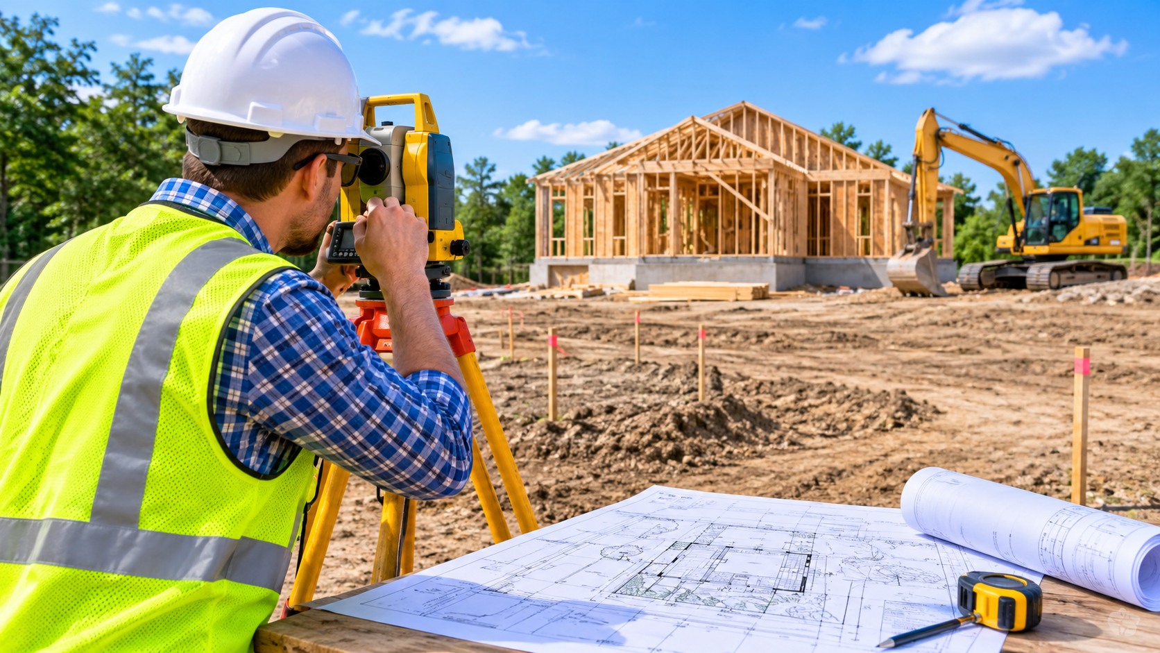
Before starting any construction project, property owners and contractors need to understand the land they are building on. Even a well-designed building can encounter serious problems if property boundaries, ground elevations, or existing site features are incorrectly measured. This is where a professional land survey becomes important.
A land survey provides accurate information about a property's dimensions, boundaries, elevations, and physical conditions. It helps architects, engineers, builders, and homeowners make informed decisions before construction begins. Although not every small project requires the same level of surveying, certain situations make professional measurements essential.
Understanding land survey requirements early can prevent construction delays, boundary disputes, permit rejections, and unexpected expenses. Let's explore when hiring a professional surveyor is necessary and how accurate survey information supports successful construction site planning.
1. Before Building a New Home or Commercial Property
One of the most important times to arrange a professional land survey is before constructing a new residential or commercial building. Property owners need accurate measurements to determine where structures can safely and legally be placed.
A surveyor identifies property boundaries, existing structures, access points, and relevant land features. This information helps design professionals understand the available building area and avoid placing foundations or other improvements outside the permitted boundaries.
For commercial projects, surveying becomes even more important because developments may involve parking areas, driveways, drainage systems, landscaping, and multiple structures. Incorrect measurements can affect the entire development layout.
Professional survey information also supports professional site plan drawings, which may be required during the building permit application process. Starting with reliable measurements gives the design team a stronger foundation for preparing accurate construction documents.
2. When Property Boundaries or Setbacks Are Unclear
Property boundary uncertainty is another common reason to hire a licensed or otherwise appropriately qualified surveyor, depending on local regulations.
A property's visible features do not always represent its legal boundaries. Existing fences, walls, driveways, and landscaping may have been installed incorrectly or may not follow the recorded property lines.
Before building a fence, garage, home addition, shed, or other permanent improvement, property owners should confirm where their land begins and ends.
A professional boundary survey can help establish:
Exact property corners and boundary lines.
The location of existing fences and structures.
Potential encroachments from neighboring properties.
Required building setback measurements.
Available space for proposed improvements.
Setback rules vary depending on local zoning regulations and property conditions. Building too close to a property line can result in inspection problems, redesign expenses, or legal disputes.
When boundary information is uncertain, relying on online maps or visual estimates is not a safe substitute for a professional survey.
3. When Local Authorities Require Survey Documentation
Different municipalities have different land survey requirements. Some construction projects may proceed with existing property records or basic site measurements, while others require a certified or professionally prepared survey.
For example, local authorities may request survey documentation when reviewing:
New residential construction applications.
Commercial development proposals.
Property subdivision projects.
Building additions near property boundaries.
Projects involving significant grading or drainage changes.
Developments located in flood-prone or environmentally regulated areas.
The required survey type also depends on the project. A boundary survey identifies property lines, while a topographic survey documents elevation changes and physical features. An ALTA/NSPS land title survey may be needed for certain commercial property transactions.
Before hiring a surveyor, contact the local building or planning department to confirm exactly what documentation is required.
This simple step can prevent unnecessary surveying costs and help ensure that submitted construction documents meet local approval standards.
4. When the Land Has Slopes, Uneven Ground, or Drainage Problems
Not every construction site has a flat and predictable surface. Properties with hills, slopes, low areas, or drainage concerns often require professional topographic surveying before design work begins.
A topographic survey records important elevation information and identifies natural and existing site features. This information helps architects and engineers understand how the land will interact with the proposed development.
Accurate elevation measurements are particularly useful when planning:
Building foundations on sloped properties.
Driveways and vehicle access routes.
Retaining walls and grading work.
Stormwater drainage systems.
Underground utility connections.
Site entrances and parking areas.
Without reliable elevation data, a building could be positioned incorrectly or create water drainage problems for neighboring properties.
For example, a homeowner planning a new garage on uneven ground may discover that the proposed location requires additional grading or a retaining wall. A professional survey can identify these challenges before construction begins.
This makes surveying an important part of effective construction site planning, especially when site conditions are complicated.
5. Before Major Renovations, Additions, or Property Subdivision
Professional surveying is not limited to new construction. Existing properties may also require updated measurements before significant improvements or changes to land use.
A home addition, detached garage, swimming pool, deck, or accessory dwelling unit can affect setbacks, drainage patterns, and available building space.
For these projects, property owners should determine whether their existing survey is sufficiently accurate and whether local authorities will accept it. Older surveys may not show recently installed structures, changes to property conditions, or updated boundary information.
Subdivision projects generally require more detailed surveying because land must be divided into legally recognized parcels. Surveyors help establish proposed boundaries, calculate dimensions, and prepare information needed for subdivision applications.
Accurate measurements can also help identify access limitations, easements, and other restrictions that influence how a property can be developed.
Before investing in architectural designs or construction materials, confirming the property's actual conditions can save considerable time and money.
6. How Professional Surveying Improves Construction Accuracy
A professional land survey does more than establish measurements. It provides reliable information that supports better decisions throughout the construction process.
When survey information is available early, designers can prepare site layouts that reflect actual property conditions instead of relying on assumptions.
Accurate survey data can help:
Reduce errors in building placement.
Improve compliance with zoning and setback regulations.
Identify potential drainage and grading issues.
Support accurate permit application documents.
Reduce the likelihood of boundary disputes.
Minimize costly design revisions during construction.
Survey information is especially valuable when preparing professional site plan drawings. These drawings may illustrate property boundaries, proposed building locations, setbacks, driveways, parking areas, landscaping, and other important site details.
However, a site plan and a land survey are not necessarily the same document. A site plan communicates how a property is arranged or proposed to be developed, while a survey provides measured information about land conditions and boundaries.
Depending on local regulations, a site plan may need to be prepared using information from a professional surveyor.
Conclusion
A professional land survey is necessary whenever accurate property information is essential for safe, compliant, and successful construction. New buildings, unclear boundaries, complex terrain, major renovations, and subdivision projects are common situations where professional surveying can make a significant difference.
The best approach is to check local land survey requirements before beginning design or construction work. Confirming the necessary survey type with the local planning department and hiring a qualified surveyor when required can prevent unnecessary delays and expensive corrections.
For property owners and contractors, accurate measurements are not simply an additional project expense. They are an investment in better planning, more reliable construction documents, and a smoother building permit process.